Springlike warmth nears 70 degrees in Northeast Ohio before a storm threat arrives Saturday
Warm air surges north as a weekend cold front approaches
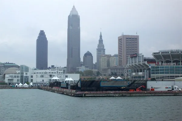
Northeast Ohio is on track for an early taste of spring, with temperatures expected to climb into the upper 60s and near 70 degrees by Saturday, March 7, ahead of an approaching cold front that could also trigger showers and thunderstorms.
The warmup is being driven by persistent southerly winds transporting mild, humid air into the Great Lakes region. The same large-scale pattern is also supporting unusually warm conditions across parts of the Midwest and Northeast before a more active weather period arrives this weekend.
What residents can expect from Thursday through Saturday
Forecasts call for periods of rain at times through the end of the workweek, with temperatures moderated closer to Lake Erie compared with inland communities. By Friday, March 6, temperatures are expected to jump into the upper 60s in many locations, setting the stage for the warmest day of the stretch on Saturday.
Saturday’s forecast also points to gusty winds and a higher chance of showers and thunderstorms as the cold front sweeps in. The timing and intensity of storms remain subject to change, a common challenge with early-season convection and fast-moving frontal systems.
Thursday, March 5: Periods of rain possible; cooler near the lakeshore.
Friday, March 6: Warmer, with highs pushing into the upper 60s inland; spotty showers possible.
Saturday, March 7: Very warm and windy; scattered showers and thunderstorms likely at times.
Storm concerns: lightning and strong wind gusts are the primary hazards
While the overall severe weather risk is still being refined, the setup for Saturday includes enough warmth and wind energy to support at least some stronger storms. If thunderstorms organize efficiently along the front, the primary threat would be damaging wind gusts along with frequent lightning and brief heavy downpours that could reduce visibility and create ponding on roads.
Not every community will see the same impacts. Some areas may experience only a brief line of rain, while others could see multiple rounds of showers and embedded thunderstorms. Forecast confidence typically improves as the event draws closer and higher-resolution guidance captures the front’s exact timing and storm evolution.
Residents planning outdoor activities Saturday should be prepared for rapid changes: warm temperatures can quickly give way to downpours, gusty winds and thunder.
Why this warmup stands out for early March
In Cleveland, typical March daytime highs are closer to the low 40s. Reaching the upper 60s to near 70 represents a departure more consistent with late April than early March, underscoring how quickly temperatures can swing in the Great Lakes during seasonal transitions.
After Saturday’s front passes, temperatures are expected to trend lower, though the magnitude of cooling will depend on how quickly colder air moves in behind the system and whether clouds and lingering showers persist.
Cuyahoga County judge to sentence Jeffrey and Lanaemarshe Grant in killing of 10-year-old Kaden Coleman

Downtown Cleveland traffic lights go dark Thursday morning, forcing four-way stops and complicating commutes

Two people killed in Maple Heights early-morning single-vehicle crash on Broadway Avenue, police investigate cause