Cleveland forecast shows brief late-week warm-up, then colder air and wintry chances returning next week
A short-lived thaw is expected before temperatures trend back toward winter
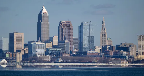
Cleveland and much of Northeast Ohio are on track for a familiar late-winter pattern shift: a modest warm-up late this week followed by a return to colder air and renewed chances for wintry precipitation next week. The setup reflects a transition from a milder air mass into a colder one as storm tracks and frontal boundaries shift across the Great Lakes.
Late-week temperatures are expected to run higher than recent readings, encouraging some snowmelt where snow cover remains. While the warm-up is not expected to be prolonged, it can still affect travel and drainage, particularly where daytime melting is followed by nighttime refreezing.
What the late-week warm-up means on the ground
When temperatures climb above freezing after a cold stretch, impacts often show up quickly: wet roads during the day, puddles and slush in low-lying areas, and refreezing risk after sunset. Even without a major rain event, meltwater can collect along curbs and in shaded spots where temperatures lag.
Road conditions: Daytime improvements can be followed by slick patches overnight, especially on untreated surfaces and bridges.
Snowmelt and runoff: Where storm drains are partially blocked by snow or ice, water can pool and refreeze.
Lake Erie shoreline: Shifting winds and temperature swings can influence nearshore conditions, while ice coverage can limit wave development even during breezier periods.
Wintry weather chances return next week
Forecast guidance indicates colder air will move back into the region next week, bringing temperatures closer to late-February and early-March norms and reintroducing the potential for snow or mixed precipitation. The exact timing and type of precipitation will depend on how individual weather disturbances track through the Ohio Valley and across the Great Lakes.
In this pattern, small shifts in storm track can change outcomes locally: a path south of the area favors colder profiles and higher snow potential, while a track closer to or north of the area can introduce warmer layers aloft that increase the risk of mixed precipitation and icing. Lake-enhanced snow can also become a factor if colder air crosses Lake Erie, particularly for communities east of Cleveland.
For Northeast Ohio, the transition from thaw to freeze is often less about a single storm and more about repeated temperature swings that create periods of melting, refreezing, and intermittent precipitation.
What to watch over the next several days
Residents planning commutes or weekend travel should monitor the day-to-night temperature changes and the evolving timing of next week’s colder push. The highest-impact scenarios typically involve precipitation arriving near or just after the cold air returns, when wet pavement can quickly turn icy.
Forecasters will refine snowfall or icing potential as confidence increases in the storm track and temperature profile. For now, the overall message is consistent: a brief warm-up late this week, followed by a renewed stretch of colder, more winterlike conditions next week.
Cuyahoga County judge to sentence Jeffrey and Lanaemarshe Grant in killing of 10-year-old Kaden Coleman

Downtown Cleveland traffic lights go dark Thursday morning, forcing four-way stops and complicating commutes

Two people killed in Maple Heights early-morning single-vehicle crash on Broadway Avenue, police investigate cause