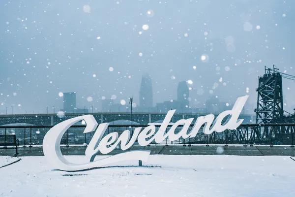
Sub-Zero Shivers: Cleveland Faces Bone-Chilling Cold and Late Snow Showers
Frozen Morning Commute and Cold Weather Advisory
Cleveland residents waking up this Thursday, January 29, 2026, are being met with the most brutal air mass of the winter season so far. Following the aftermath of Winter Storm Fern earlier this week, an Arctic high-pressure system has settled over Northeast Ohio, bringing dangerously low temperatures. A Cold Weather Advisory remains in effect for the Greater Cleveland area until 11:00 AM EST this morning. Current morning temperatures are hovering around a frigid 13°F, but with the humidity at 75% and a steady breeze, the real-feel temperature is estimated at a bone-chilling -3°F.
Commuters should exercise extreme caution. While the heavy accumulation from the weekend has been cleared from most major highways, the extreme cold can lead to localized icing on untreated surfaces. Public officials and Governor Mike DeWine, who previously declared a state of emergency for the region, continue to urge residents to limit outdoor exposure during the early morning hours to prevent frostbite and hypothermia.
Cloudy Skies and Frigid Afternoons
As the morning advisory expires, the afternoon will offer little relief in terms of warmth. The forecast for the midday hours predicts persistent cloud cover with a projected high temperature of only 14°F. Unlike the sunny spells seen earlier in the month, January continues its reputation as the cloudiest month of the year for the North Coast, with stubborn overcast skies expected to remain through the sunset.
Despite the clouds, the chance of precipitation during the afternoon remains relatively low at approximately 15% to 20%. Residents can expect a few stray light snow flurries, though no significant accumulation is anticipated before the evening commute. For those heading out for lunch or afternoon errands, the following conditions are expected:
- Peak Temperature: 14°F
- Wind Chill: Staying near or below 0°F
- Sky Conditions: 100% Cloud Cover
- Humidity: 71%
Evening Snow Showers and Overnight Lows
The weather takes a more active turn as we head into the evening and night hours. Meteorological data indicates that the chance for snow showers will increase after 6:00 PM, with a 20% probability of light snow continuing through the night. While this is not expected to be a major system, the combination of light snow and plummeting temperatures will make for slippery secondary roads.
Tonight, the mercury is set to drop even further, reaching an overnight low of 3°F. These temperatures are roughly 2 to 5 degrees below the seasonal average for late January. If you must be out this evening, ensure your vehicle is equipped with a winter emergency kit, as the bitter cold is expected to persist into Friday morning. Looking ahead, the extended forecast suggests that while the snow may taper off by tomorrow, the sub-zero wind chills will remain a fixture of the Cleveland landscape for the remainder of the week.