Rainy Skies and Gusty Winds: Cleveland Braces for a Soggy Friday
Morning: A Damp and Gray Start
Cleveland residents waking up this Friday, February 20, 2026, will find themselves greeted by overcast skies and a persistent dampness in the air. As of early morning, light rain is already falling across the metro area with temperatures hovering around a relatively mild 47°F. Humidity is high, sitting at approximately 86%, making the morning air feel thick and chilly. While the "feels like" temperature is closer to 41°F due to the high moisture content, the primary concern for early commuters will be reduced visibility and slick road surfaces caused by this initial wave of precipitation.
Afternoon: Mild Temperatures Met with Heavy Rainfall
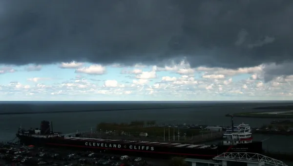
As we move into the afternoon hours, temperatures are expected to climb to a daily high of 55°F. While these temperatures are uncharacteristically mild for late February in Northeast Ohio, the warmth comes with significant stormy activity. A potent weather system is moving through the region, bringing an estimated 1.45 inches of total rainfall throughout the day. By mid-afternoon, the morning drizzle is expected to transition into a steady, heavy downpour. Furthermore, wind speeds are set to increase significantly, with fresh breezes sustained out of the west-southwest at approximately 33 km/h (20 mph). Local advisories suggest residents should be cautious of flying debris and difficult handling for high-profile vehicles on major routes like I-90 and the Shoreway.
Evening: A Sharp Transition to Winter Chill
The mild conditions will not last long as a cold front sweeps across Lake Erie. After sunset, temperatures will begin a sharp descent, with the mercury projected to drop toward a low of 31°F by the late-night hours. The overcast conditions will persist, but the heavy rainfall is expected to taper off into scattered showers. There is a 10% to 20% chance that any lingering moisture could transition into light snow flurries as the air temperature falls below the freezing mark overnight. While no significant snow accumulation is expected before morning, the rapid temperature drop may cause standing water on roadways to freeze, potentially creating hazardous patches of black ice for late-night travelers and the early Saturday morning commute.
Safety and Commuter Information
Given the combination of heavy rain and gusty winds, the following precautions are recommended for the remainder of the day:
- Carry a sturdy umbrella, but remains alert for sudden wind gusts that could make handling difficult.
- Allow for extra travel time during the evening rush hour as heavy rain may lead to localized ponding on highways.
- Ensure that outdoor holiday decorations or lightweight patio furniture are secured against the 20 mph wind gusts.
- Clear any leaves or debris from storm drains near your property to prevent minor flooding in residential streets.
Looking ahead, the transition to cooler air will continue through the weekend, with more traditional winter temperatures and snow showers likely by Saturday night. For today, the focus remains on staying dry and navigating the wind-driven rain safely.