Cleveland-area forecast: Gradual warmup after weekend deep freeze, with mixed precipitation possible midweek
Temperatures begin to recover after a weekend cold snap
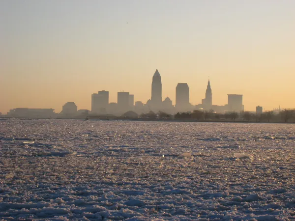
A slow warmup is expected across Greater Cleveland and much of Northeast Ohio after a frigid weekend that drove wind chills well below zero in parts of the region. The coldest conditions lingered into early Monday, with a cold weather advisory in effect for nearby Northwest Pennsylvania until 10 a.m. Monday, Feb. 9, warning of temperatures as low as 15 below zero and heightened hypothermia risk with prolonged exposure.
While the harshest wind chills are easing, the pattern remains winterlike. Daytime highs are projected to climb from the upper 20s Monday toward the low 40s by Tuesday, indicating a modest but noticeable shift away from the Arctic air mass that dominated the weekend.
Midweek brings greater uncertainty: rain, snow and a temperature tug-of-war
The developing warmup does not necessarily mean a clean break from winter hazards. Forecast guidance for Tuesday through Thursday suggests temperatures hovering near the freezing mark at times, a setup that can support multiple precipitation types depending on storm track, timing and the depth of cold air near the surface.
Tuesday, Feb. 10: highs could reach the low 40s, with increasing potential for light precipitation late in the day.
Wednesday, Feb. 11: temperatures may dip back into the 30s, raising the possibility that precipitation changes from rain to snow.
Thursday, Feb. 12: a cooler day is possible, with highs near 30 and reduced precipitation chances.
This kind of swing is typical in February, when a brief surge of milder air can collide with lingering cold at ground level. Even small shifts of a few degrees can determine whether the Cleveland metro sees wet roads, slushy accumulation, or limited impact.
What remains consistent: cold-weather safety and travel readiness
Despite the warming trend, early-week mornings remain cold enough to pose risks for people without adequate shelter and for anyone spending long periods outdoors. Residents should continue to dress in layers, limit exposure during the coldest hours, and check on older adults and other vulnerable neighbors.
For homes and buildings, gradual warming can also create a freeze-thaw cycle that turns untreated surfaces slick—especially on shaded sidewalks and parking lots where weekend ice may persist.
As the region transitions from extreme cold to more seasonable temperatures, the main forecast question shifts from “how cold will it get” to “what type of precipitation will fall and when.” Cleveland-area drivers should plan for changing road conditions midweek, particularly during morning and evening commutes when temperatures are most likely to hover near freezing.