Breezy Wednesday brings intermittent snow showers to Northeast Ohio, with slippery roads and falling wind chills
What Northeast Ohio can expect on Wednesday
Northeast Ohio is set for a blustery midweek pattern as temperatures moderate from earlier Arctic air but remain winter-like. On Wednesday, January 21, Cleveland is expected to see intermittent snow and flurries paired with brisk winds, a combination that can quickly reduce comfort levels and create spotty slick travel.
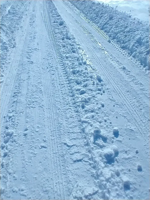
Forecast guidance indicates light accumulations in the Cleveland area—generally a coating—rather than a widespread plowable snowfall. Even so, bursts of snow can briefly lower visibility and glaze untreated pavement, especially on bridges, ramps, and less-traveled neighborhood streets.
Timing, temperatures and wind
Wednesday’s daytime high is expected to reach the upper 30s in Cleveland, with temperatures dipping to the upper 20s Wednesday night. While that is milder than the region’s earlier deep freeze, wind will remain a key factor: breezy conditions can drive wind chills lower than the thermometer reading and can also lead to uneven road conditions as exposed surfaces cool faster.
Conditions remain active into Thursday, January 22, with mostly cloudy skies, continued breeziness, and the potential for additional light snow later in the day. Temperatures are expected to fall sharply by Thursday night, reinforcing the risk that any moisture on pavement could refreeze after sunset.
Lake Erie influence and where impacts may be higher
Snow showers in Northeast Ohio frequently vary over short distances due to wind direction and Lake Erie’s influence. That can mean lighter activity downtown and along some west-side corridors, with more persistent snow showers at times in portions of the primary snowbelt east and southeast of Cleveland. Drivers commuting across county lines may encounter rapidly changing conditions.
Practical impacts: travel, schools and outdoor plans
Morning and midday commutes: Short-lived snow showers can create brief slowdowns and slick spots.
Evening travel: Temperatures trending downward increase the chance of refreezing, particularly on untreated surfaces.
Outdoor exposure: Breezy conditions can make it feel notably colder than the air temperature, especially near the lakefront.
Light snow can produce outsized impacts when it coincides with falling temperatures and gusty winds, particularly during peak travel hours.
What to watch next
The key variables for Wednesday are the intensity and persistence of snow showers and the degree of cooling after sunset. Residents should plan for localized slick travel, remain alert for rapid changes in visibility, and allow extra time for commutes through areas prone to lake-enhanced snow.