A Bitterly Cold Midweek: Cleveland Braces for Single-Digit Wind Chills
The Deep Freeze Grips Northeast Ohio
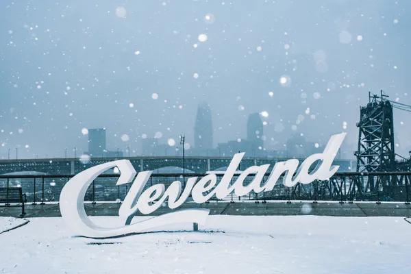
Clevelanders are waking up to a stark reminder of winter’s peak this Wednesday, February 4, 2026. While the heavy snowfall from earlier in the week has largely tapered off, the primary story for today is the biting cold. Local meteorologists have confirmed that the region is currently settled into a frigid air mass, bringing some of the lowest temperatures recorded so far this year. Residents should be prepared for a quiet but dangerously cold day as the thermometer struggles to reach the low 20s.
Frigid Morning and Commute Hazards
The morning hours will be the most challenging for those heading out to work or school. Between 4:00 a.m. and 8:00 a.m., actual air temperatures are expected to hover between 12°F and 15°F. However, with steady winds out of the northwest at approximately 9 mph, the 'RealFeel' temperature will plummet into the single digits, likely bottoming out at 9°F. Skies will remain mostly cloudy with a few intermittent flurries possible, particularly for communities along the lakefront. While significant accumulation is not expected, the National Weather Service has advised caution for vulnerable populations, recommending that hats, gloves, and scarves be used to protect against frostbite and hypothermia during the morning rush.
Afternoon Outlook: Intermittent Clouds and Chilly Winds
As we move into the afternoon, the sun may occasionally peek through the overcast layers, but it will provide little in the way of warmth. The daytime high is projected to reach just 22°F around 2:00 p.m. Wind gusts may occasionally reach up to 15 mph, keeping the wind chill values in the low teens. Despite the clouds, conditions will remain dry for the majority of the city, making this a 'quiet' day in terms of precipitation. It is an ideal window for clearing any remaining ice from sidewalks before the next weather system arrives later in the week.
Evening and the Calm Before the Storm
Conditions will remain steady through the evening hours, with temperatures slowly receding back toward 18°F by 9:00 p.m. under a blanket of thick clouds. While today and Thursday are expected to remain relatively calm, local weather alerts are already highlighting a significant 'Weather Impact Day' scheduled for Friday. A potent clipper system is currently tracking toward the Great Lakes, which is expected to bring widespread accumulating snow and gusty winds to the Cleveland area by the end of the week. For tonight, however, the focus remains on staying warm as the city settles into a very cold, overcast night.
- Morning Low: 12°F (RealFeel 9°F)
- Afternoon High: 22°F
- Evening Temperature: 18°F - 20°F
- Wind Speed: 7-10 mph NW, gusts up to 15 mph
- Precipitation: Less than 5% chance of flurries